 kgeographer Karl Grossner, PhD
Project Portfolio
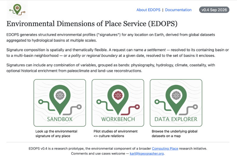
Environmental Dimensions of Place Service (EDOPS; web site)
EDOPS generates structured environmental profiles (“signatures”) for any location on Earth, derived from global datasets aggregated to hydrological basins at multiple scales. Developed as the first component of my Computing Place research initiative, in partnership with the Institute for Spatial History Innovation (ISHI) at the University of Pittsburgh.
Read more →
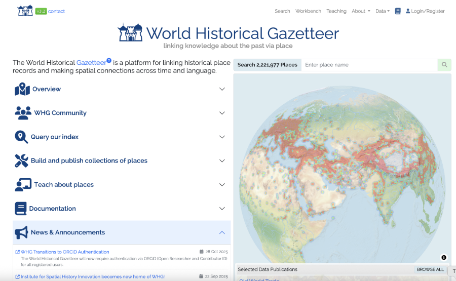
World Historical Gazetteer (WHG; web site)
A global digital humanities platform for linking, reconciling, and publishing historical place data. I served as Co-Investigator, Technical Director, and Lead Developer from 2017 to mid-2024, designing and building the data model, application architecture, and tools that power WHG’s open linked-place infrastructure.
Read more →

Linked Places Format (LPF; repo)
A lightweight JSON-LD/GeoJSON extension for representing historical places with temporal depth. With early collaborative input I created LPF as the successor to my earlier GeoJSON-T, enabling multiple temporally scoped names, geometries, types, and relations in a single place record for interoperable linked gazetteer workflows.
Read more →

Geographic Lens on Stories (GLOS; web site )
An ongoing KGEO Research personal project applying computational methods to global folklore and creation myths, including digitized ATU/TMI indexes, semantic-embedding tools, and structured myth analysis pipelines utilizing large language models from OpenAI and Anthropic. Read more →

Authorial London (web site)
A literary geography project mapping place references in works by 47 London-based writers across seven centuries, built as the first instance of a potential “Authorial {X}” platform. I served as co-investigator with Kenneth Ligda and lead developer, designing and developing the data model, mapping workflows, and Rails-based application.
Read more →
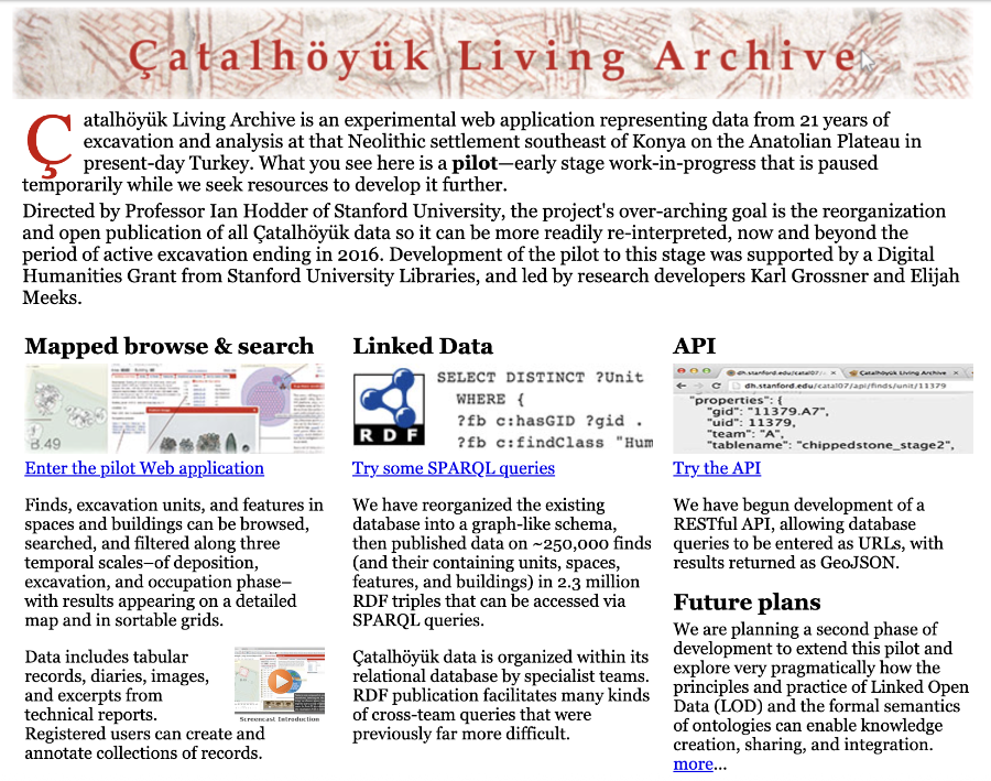
Çatalhöyük Living Archive
A pilot digital archive transformation integrating decades of excavation data from Ian Hodder’s Çatalhöyük project into a linked, spatial-temporal, multimodal research environment. I designed the Living Archive concept, restructured the underlying datasets, published the record as Linked Open Data, and built a prototype interface for exploring units, finds, features, and interpretations across time and space.
Read more →
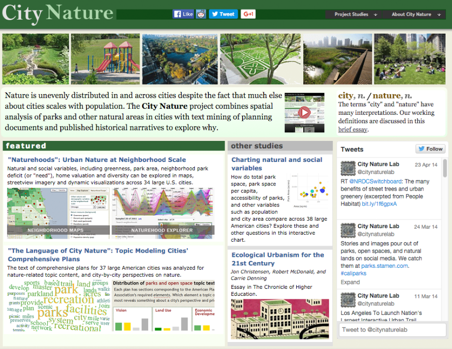
CityNature
An interdisciplinary Stanford project led by Jon Christensen combining remote sensing, GIS analysis, topic modeling, and urban environmental history to examine how major U.S. cities provide — or fail to provide — access to “nature.” I co-developed the data models, designed GIS and land-cover workflows, and designed and built the interactive visualization tools used to explore neighborhood-scale greenness and planning-language themes.
Read more →
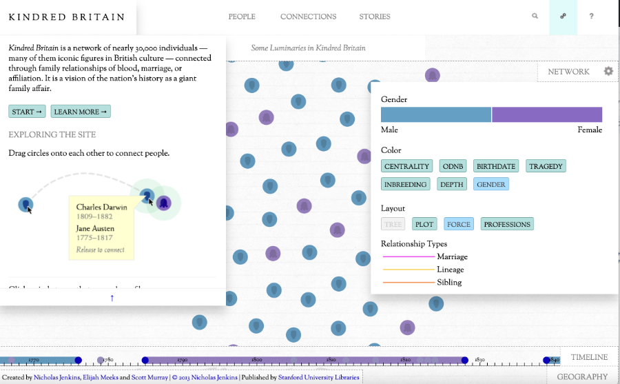
Kindred Britain (web site)
A large-scale digital humanities project tracing kinship across British cultural history. I contributed to the early technical foundation by converting the source genealogical dataset into an event-based relational model, facilitating the project’s later expansion into rich visualizations and complex relationship analyses.
Read more →
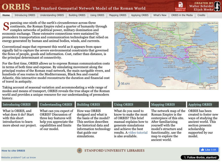
ORBIS – The Stanford Geospatial Network Model of the Roman World (current web site)
A landmark digital reconstruction of movement and transport across the Roman world by Walter Scheidel and Elijah Meeks. I designed and built the first public ORBIS web interface and helped guide its presentation as an early “interactive scholarly work,” including the framing essays that now anchor the project. I later contributed to exploratory efforts toward a reusable “ORBIS in a Box” framework.
Read more →

TeachSpatial: Resources for Spatial Thinking and Learning
A UCSB project to define the conceptual foundations of spatial thinking and harvest related educational resources using the National Science Digital Library’s OAI-PMH metadata services. I led development of a controlled vocabulary derived from published science education standards, the metadata pipeline, and the original TeachSpatial web portal.
Read more →

PhD Dissertation – Representing Historical Knowledge in Geographic Information Systems
My doctoral project developed a Spatial History Ontology (SHO) and a prototype spatial-temporal database to model historical knowledge in geographic information systems. The work defined representational requirements for digital historical atlases, introduced ontology-driven methods for managing geo-historical information, then demonstrated their efficacy and potential. Read more →